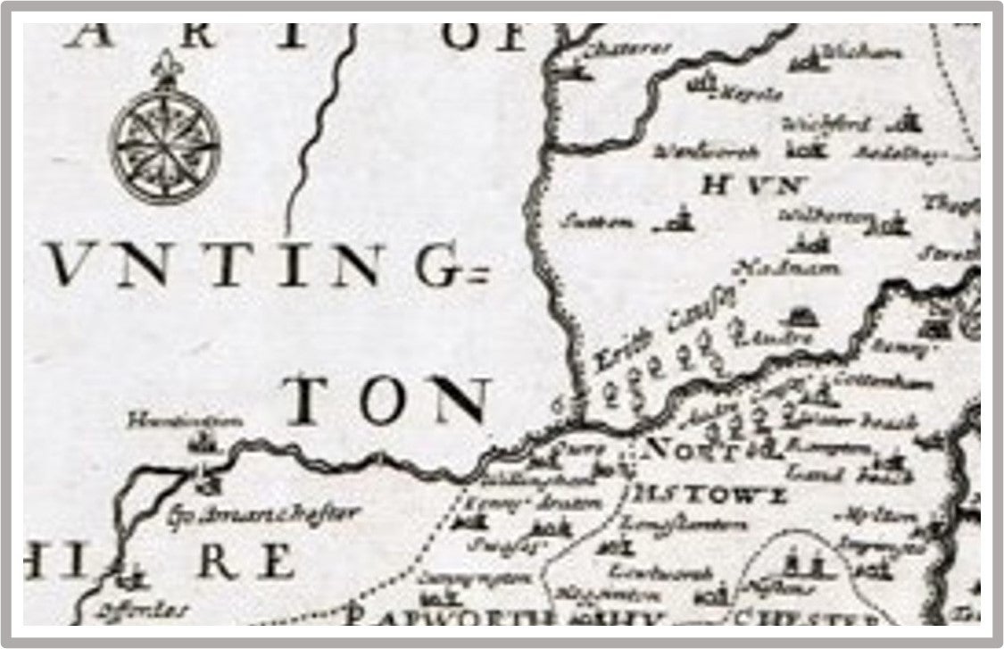
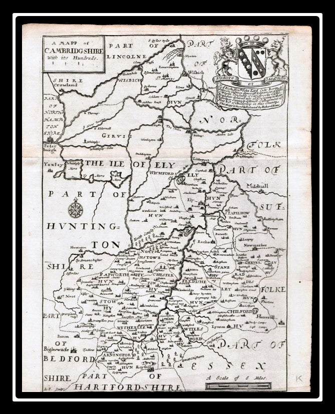
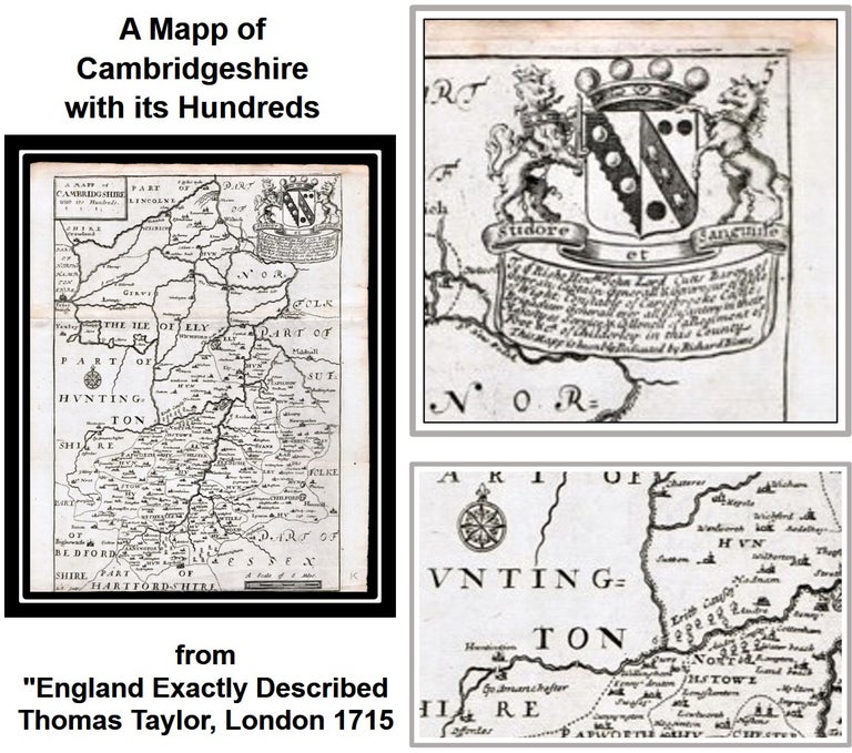
A Mapp of Cambridgeshire with its Hundreds from "England Exactly Described" published by Thomas Taylor, London 1715
London: Thomas Taylor, 1715. Richard Blome.
A detailed map from the late early 18th Century. Single sided, verso is blank. Old horizontal folds as issued. Approx. 240 X 165mm (9.5 x 6.5 Inches) plus margins. Margin tight top and bottom.
Very Good / No Jacket. Item #011228
Background Information:
Taylor was also responsible for the publication of several maps including England exactly described [...] in 1715 containing maps of the English counties which had been issued previously in Speed's Maps Epitomiz'd in 1681 and in other works.
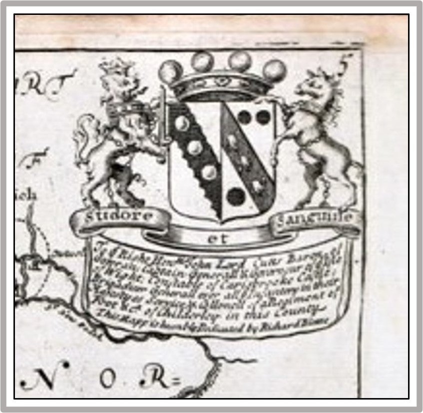
The maps seem to have been printed from copper plates made by Richard Blome in the 1660s and 1670s. The plates were modified, and Bloom's name was removed from many of the plates before this set of maps was printed at a later date.
We believe it to be from Richard Blome's Britannia (London: 1673) or 38 old maps of England folded and bound in a leather book. This appears to be from England Exactly Described published by Thomas Taylor in 1715.
REF: WikiMedia Commons; OCLC 79567206 ; National Library of Wales
Price: $49.95
Other books you may like