

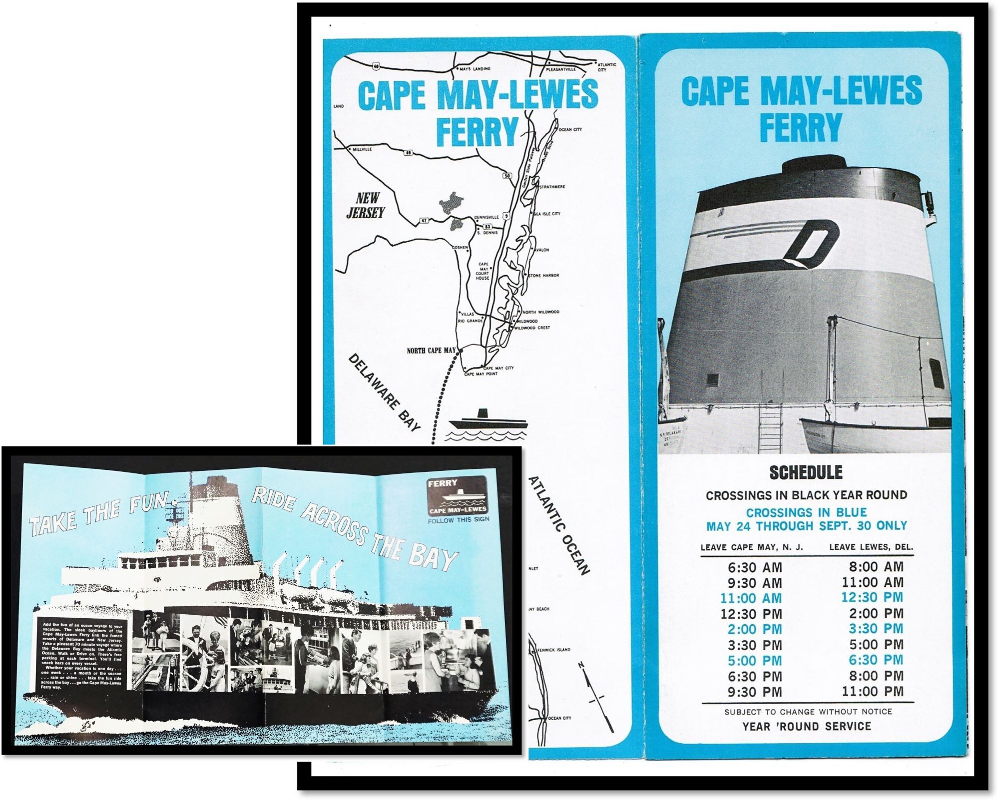

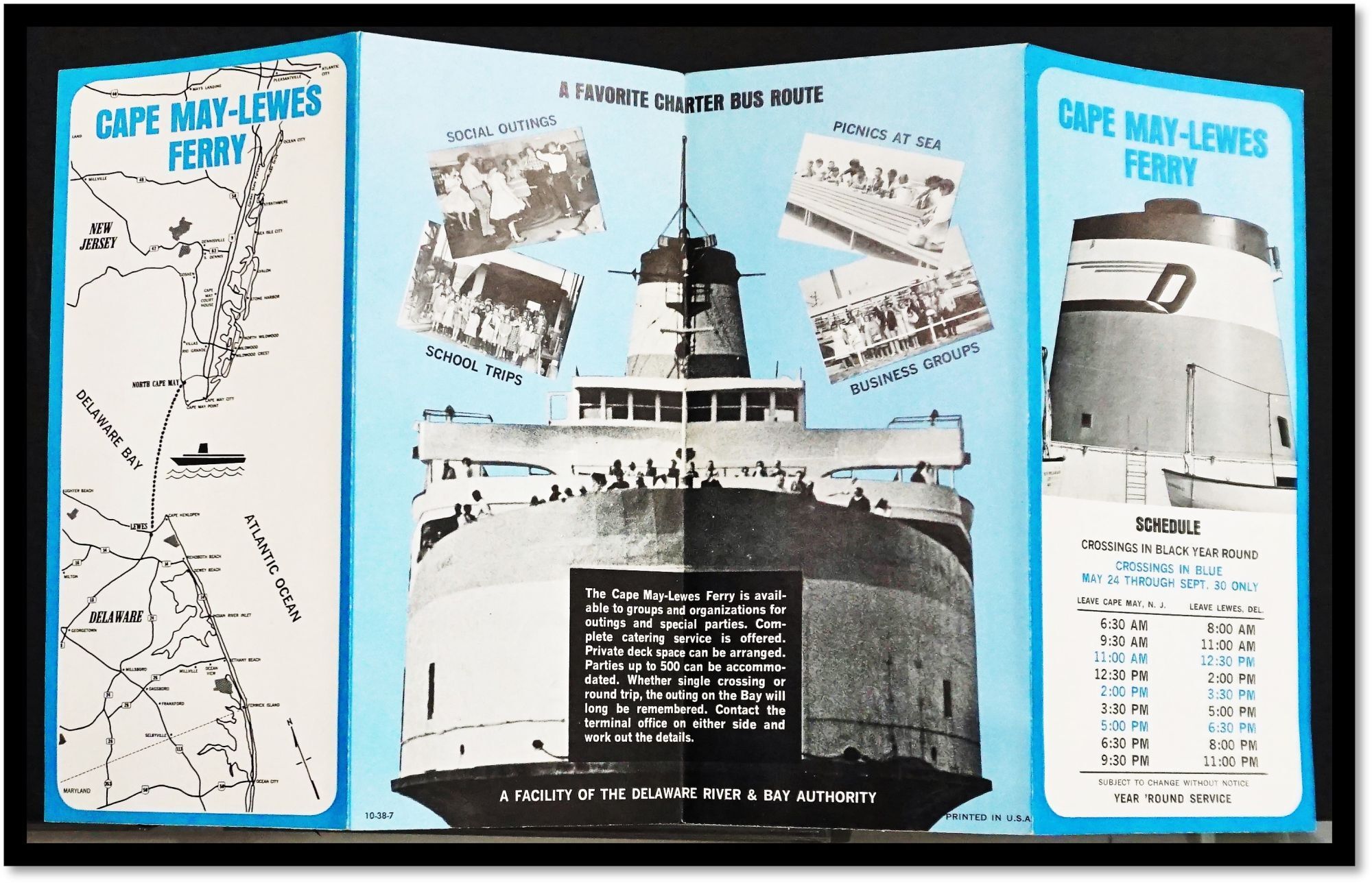

Cape Map-Lewes Ferry [New Jersey - Delaware]
Four-panel brochure with a schedule, map opening to a promotional flyer with b/w photography. 4 by 9 inches when closed opening to 16 by 9 inches. c1970
Carefully handled, no flaws but light even age-toning.
The Cape May–Lewes Ferry is a ferry system in the United States that traverses a 17-mile crossing of the Delaware Bay connecting North Cape May, New Jersey with Lewes, Delaware. The ferry constitutes a portion of U.S. Route 9 and is the final crossing of the Delaware River-Delaware Bay waterway before it meets the Atlantic Ocean.
Item #17117
Price: $8.95
Other books you may like


